Distorting a journey onto a time axis
Yesterday, I talked about how to build a custom map project in proj.4 and mapnik. I started this project, because I wanted to “unfold” a geographic journey, so that one axis was temporal, and the other was spatial.
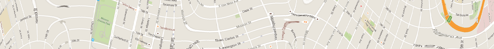
Before I started messing around with Proj.4, I created a quick demo of this by stretching a raster map image. However, this had legibility issues as it stretched the text, roadway widths, etc.
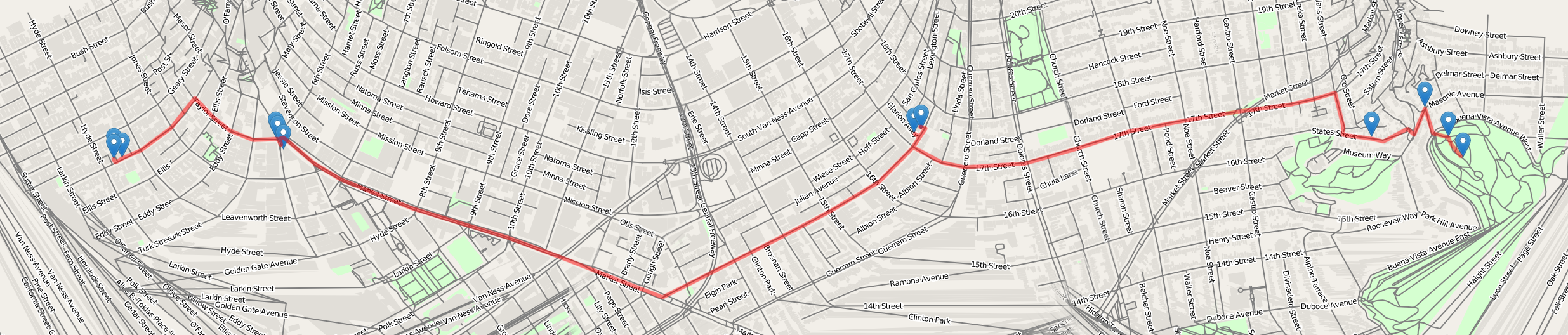
What am I actually trying to show with this distorted map? Imagine a series of visited places, such as the following:

Now, relax the line connecting them so that it doesn’t have sharp edges.

Then, imagine unfolding the map, so that the line plotted above forms the horizontal axis, and the vertical axis is perpendicular to the line. Using a custom proj.4 projection, we can do this, while maintaining legibly rendered text!
However, it is clear that this is not a particularly interpretable or usable way of rendering a map.